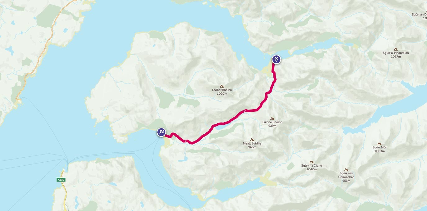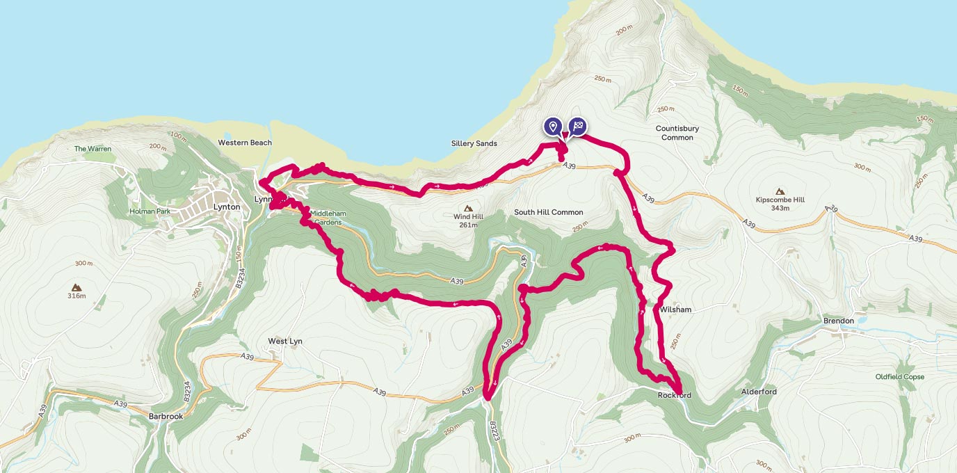
This circular coastal walk includes wild, expansive moorland steep-sided wooded valleys and a rugged coastline with high cliffs, hidden coves and secluded beaches.
SS 747 497
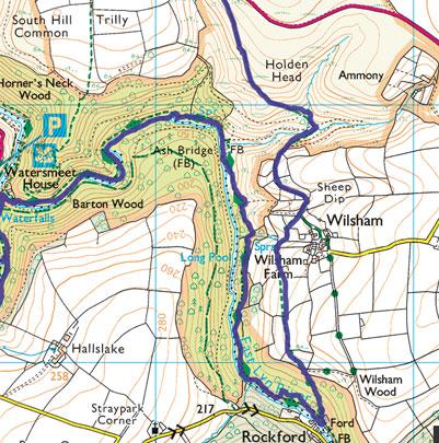
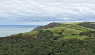
The starting point is the charming Blue Ball Inn, a 13th century coaching inn located in Countisbury on the old coaching route between Porlock and Lynmouth. From the inn a path takes you through the churchyard of St John the Evangelist to meet the South West Coast Path (SWCP) and the first of many spectacular views on this walk: a 180 degree vista along the dramatic Exmoor coastline – north to Devon’s most northerly outcrop, The Foreland, and south to the twin villages of Lynton and Lynmouth – and across the Bristol Channel to South Wales for a glimpse of Worm’s Head jutting out from the Gower Peninsula. Despite the pull of the South West Coastal Path enticing me to continue along the coast towards Porlock, I headed inland to join a bridleway that descends into a lush combe, with wonderful views over the densely wooded East Lyn Valley. After crossing two small streams at a spot that has the potential to become a bit boggy in the winter months, the bridleway gradually climbed to the hamlet of Wilsham before descending steeply to meet the East Lyn river at a ford near the Rockford Inn.
4.1 km
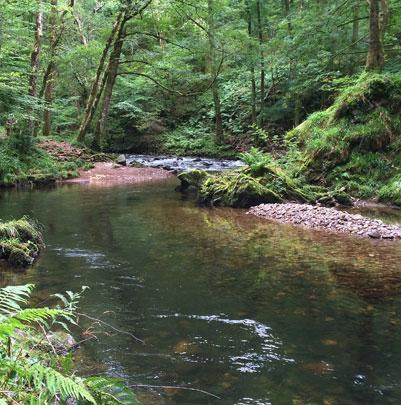
From here the walk entered a relatively flat stage as I followed a glorious woodland path along the picturesque East Lyn river – with its rocky rapids and tranquil deep pools – to Watersmeet House, a former fishing lodge and now a National Trust shop and café. After an indulgent but tasty cream tea it wasn’t long before I was burning off the calories with a short climb to the viewing platform for Watersmeet Falls, which you hear long before you see it cascading into Hoar Oak Water. Here the route continued to steadily climb through woodland as it followed a tributary of the East Lyn river to Hillsford Bridge, before I nipped across the A39 at a sharp hairpin bend to join the Two Moors Way, the Devon Coast to Coast walking route, through sessile oak woods and past the ramparts of Myrtleberry South Iron Age enclosure.
8.5 km
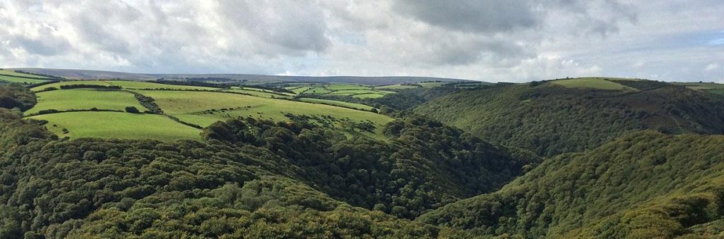
On this next section I was once again treated to glorious views across the East Lyn Valley to Countisbury Common, the walk’s starting point, on the opposite side of the steep-sided wooded valley. But don’t be fooled into thinking this stretch along the Two Moors Way to Lynmouth remains level, as steep descents into small combes resulted in lung-busting climbs up the other side. The walk’s final descent led me between cottages on a tarmac path into Lynmouth; originally a small fishing port, it is now a popular tourist spot and was the scene of a devastating flood in August 1952 in which 34 people lost their lives.
13.0 km
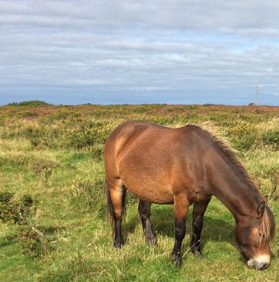
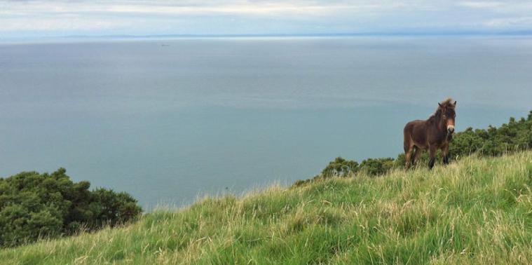
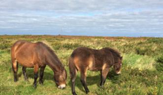
The final leg of the walk followed a magnificent section of the SWCP as it zigzagged through woodland before climbing steadily up Countisbury Hill on an exposed coast path. The 1.5-mile climb back to the Blue Ball Inn may be tough, but the views along the coastline were truly stunning – I was also fortunate to see a resident kestrel effortlessly hovering above the cliffs and pass a young Exmoor pony happily grazing on the cliff edge. And waiting for me at the top was a well-earned pint of local ale in the welcoming Blue Ball Inn.
15.1 km SS 747 496
15 km / 9 miles