Laying between Bamford and Edale (at the foot of Kinder Scout), it makes for a perfect, easily extendable half-day walk with good views, which can happily end in a pub lunch in front of a cosy fire! The area also has great access by rail and easily navigable, so no need to have a designated driver if you fancy a pint at the end!
SK 208 825
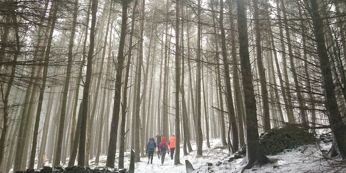
As a group of friends coming from all different areas of the midlands, the walk we had planned for a snowy weekend at the end of March needed to be easily accessible. There were also some varying experience levels in the group – so it needed to be of a gentle enough nature, whilst providing some good views for everyone to be able to appreciate. The Peak District is perfect for those kinds of walks.
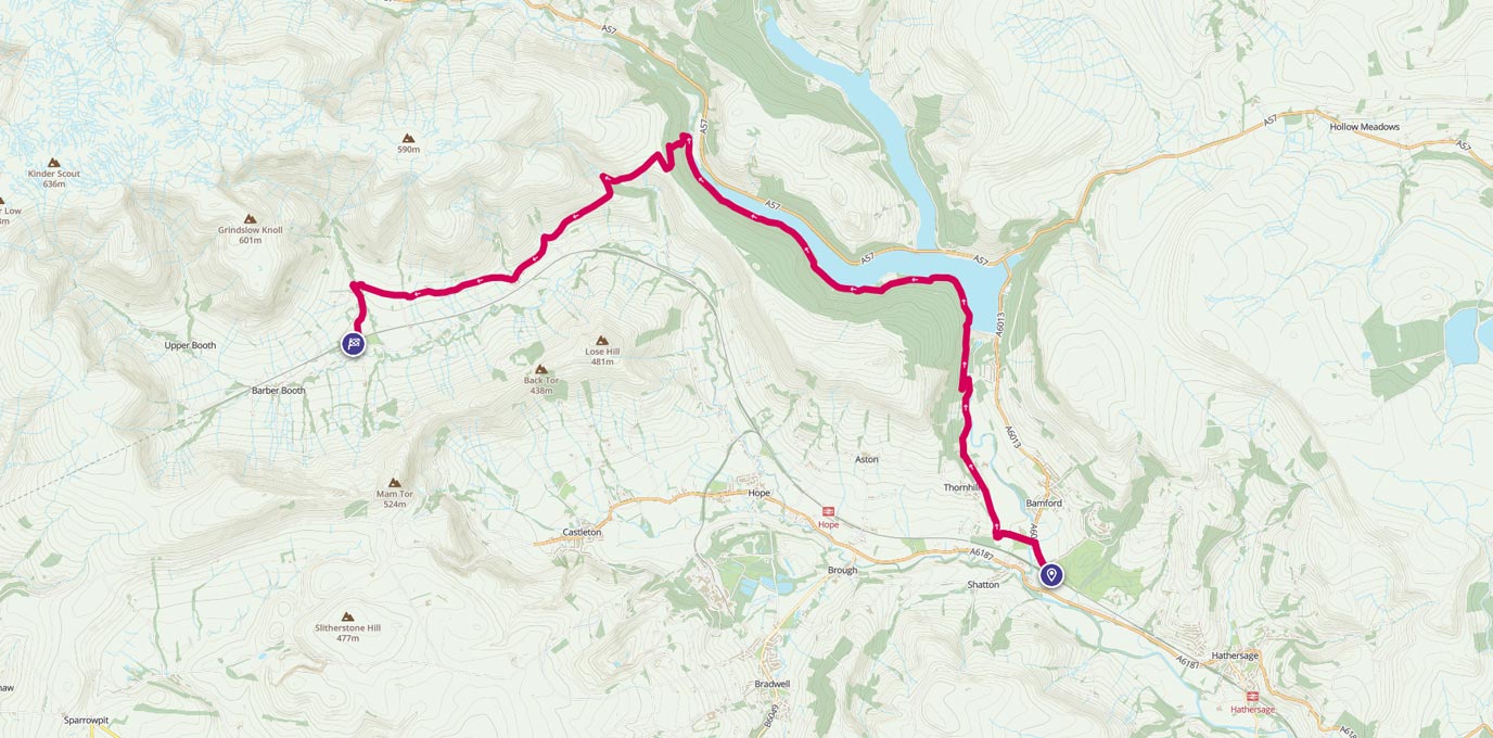
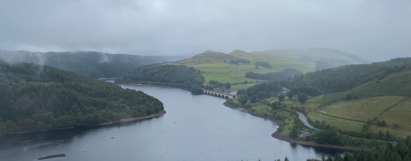
Parking for free at Bamford station for those who were driving, once the train had arrived from Manchester with the remainder of our group, we set off for Ladybower reservoir. A short journey up the road led us to cross the stream which trickles out of the overflow of the reservoir. An easy track bridleway carried us happily along to the dam, with the views of the infamous overflow causing everyone to stop and look.
SK 19762 85548
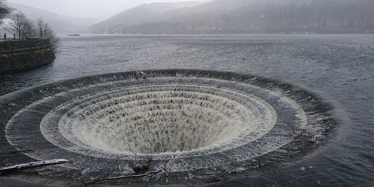
Here we met a few trail runners, but it’s safe to say that the walk itself was not very busy at all. Tracking the whole west side of the reservoir was flat and easy on the good trails in the area, and we soon found that the reservoir had come to an end. It was time to head up the only hilly part of our walk.
SK 16354 87835
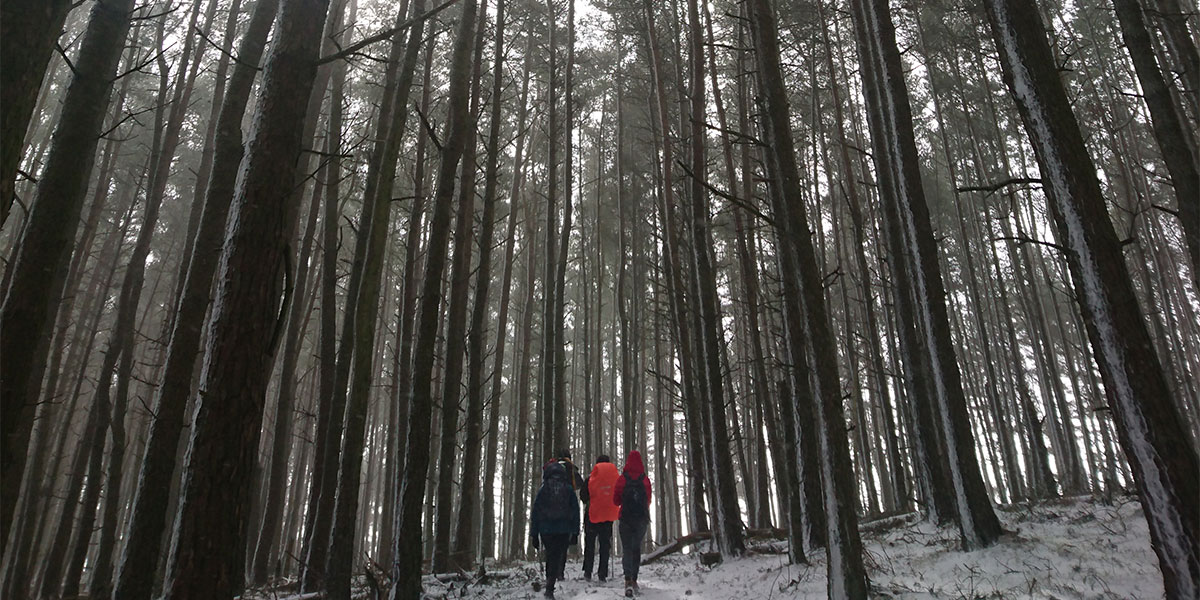
With a maximum height of 350m, this was one of my favourite parts of the walk. Heading uphill through the forests here gave some beautiful light, and also made for some atmospheric pictures in the snow. Soon the forest cleared, the ground levelled out, and some stunning views lay in front of us; most notably of Kinder Scout. Another obvious track led the group steadily down towards (and through) a group of working farms, which sit above the village of Edale.
SK 14592 86601
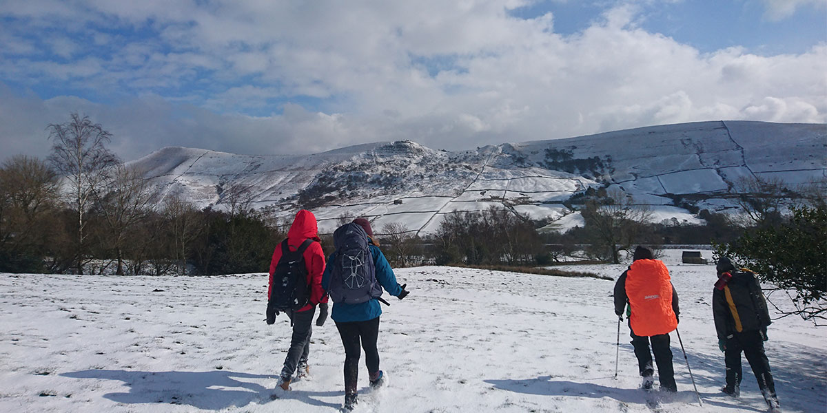
Once passed the farms, the track crossed another stream and happily emerged us barely 4 hour later into the sleepy village of Edale. Here a warm, traditional pub lunch awaited!
SK 12252 86015
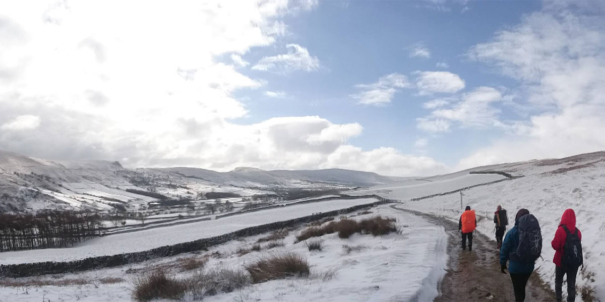
Feeling full and slightly merrier, from here, walking straight down the road took us to Edale station. The trains from Edale are fairly regular, and from Edale to Bamford run once every hour, so we jumped on in order to collect any vehicles parked at Bamford station. Had the snow not have been as bad as it was, a lovely wildcamp further up the hill or a stay in the local youth hostel (just up from the pub!) would have been in order. This way, we would have been ready for a slightly less gentle (but shorter) walk up Kinder Scout the next day. A good walk was had by all nonetheless! Maybe we will tackle Kinder Scout next time!
