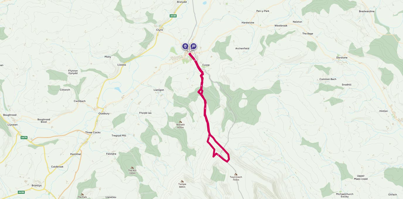
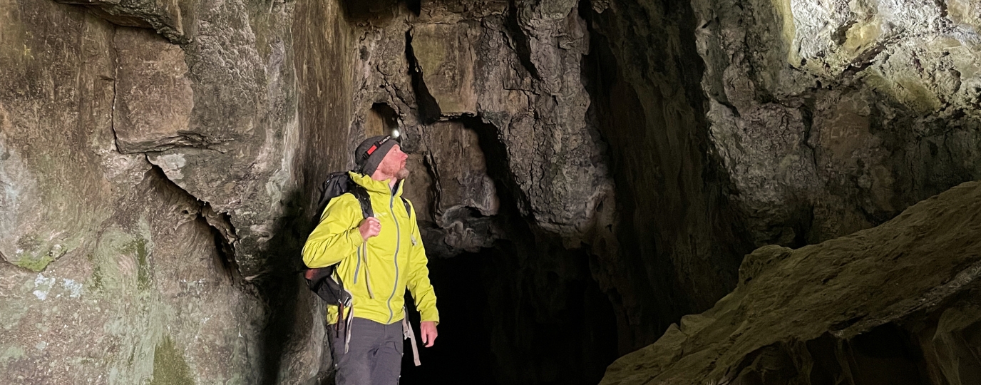
Crossing the Black Mountains, starting at Pandy and moving on to Hay-on-Wye, the route has incredible views and a line of trig points ending in one decorated with a Welsh dragon.
SO 230 422
Starting at Pandy, you can join the Offa’s Dyke path, following a slow steady climb up to the top of the Black Mountain ridge. However, time was short when I ran the route to Hay-on-Wye and so I took a more direct route up to the ridge, fighting my way through thick bracken that had swallowed the original public footpath.
5.8 km
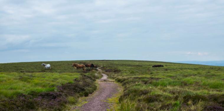
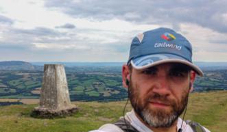
Once on top the climb became steady and fueled by an earlier meal of pork scratchings and a glass of beer, I push on towards the first of the peaks on the ridge. Each peak add a little height to the previous and eventually you reach the highest point and are rewarded with your trig pillar. I was surprised to see wild horses covering the plateau you reach as you make your way to the Hay-on-Wye trig pillar. I decided to ignore the Offa’s Dyke path that snakes along the top and head to the pillar. It seemed rude not to go and bag it!
SO 244 366
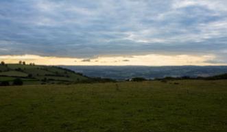
By the time I reached it, the sun had fallen low enough to create a golden line just below the cloud line and to see the Welsh dragon painted on the trig made the extra couple of miles well worth it. The rest involves a lot more running and a few more moments where a decision to alter course led to some unexpected and beautiful surprises.
This route is an alteration to my summer route, but visits that special Welsh dragon trig point, looping from Hay-on-Wye, with one short sharp climb.

14.4 SO 230 422
EXPLORE THE
OS Shop
We are with you every step of the way. Shop our trusted walking and hiking maps and guidebooks so you can explore the outdoors with confidence.
Go to the shop