Preston Docks are a popular running and walking spot, with the street lighting making the route suitable for night time antics as well as those morning strolls.
SD 5133 2971
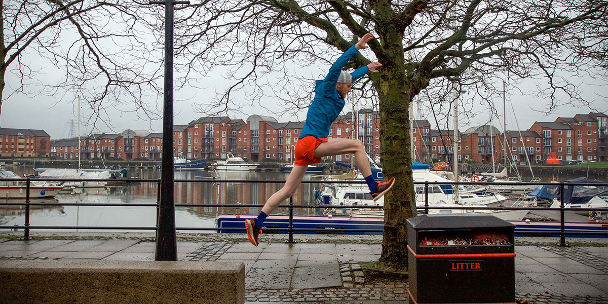
Originally opened in 1892, the Albert Edward Dock was once a busy ferry port once employing 500 dockers, before being re-developed in 1979. It’s now home to pleasure boats, a retail park, and office buildings. A paved path outlines the dock, giving a great running or walking surface to enjoy the view of the old dock.
This route tends to be my go-to road running training route, adding laps as required.
From the car park head west along the side of the dock, following the paved path until you reach the bridge. Turn onto the bridge and cross over the swing bridge, sticking to the footpath.
After the bridge, head back towards the side of the dock to rejoin the paved path by the old crane works. Follow the dockside east until the the end of the dock, staying on the path heading north until you reach the main road.
From the road cross over towards the Jaguar garage, taking the pedestrian crossing to pass by the large red boat from here take the pedestrian crossing to reach the other side of the road.
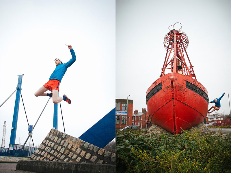
Heading east on Watery Lane will lead you past the old factories on your right.
Take the left turn when you reach the Grand junction pub to follow the road leading past a line of short bollards and up the gentle hill onto Egerton road.
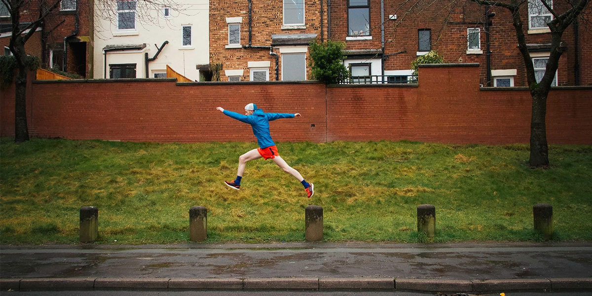
At the end of Egerton road head south down the hill leading back towards the docks, crossing Riversway at the pedestrian crossing, walking past the second large red boat and further south to the pelican crossing leading back to the car park.
4.1K SD 5133 2971
4.1 km / 3 miles
Words: Rory Southworth
Photos: Katie Bretherton
