OS GetOutside Champion, Helen Pollard, takes us on a great Mountain Bike (MTB) route used as part of the delivery of MTB leadership training to Phoenix House staff in collaboration with Cycling UK.
Askrigg SD 950911
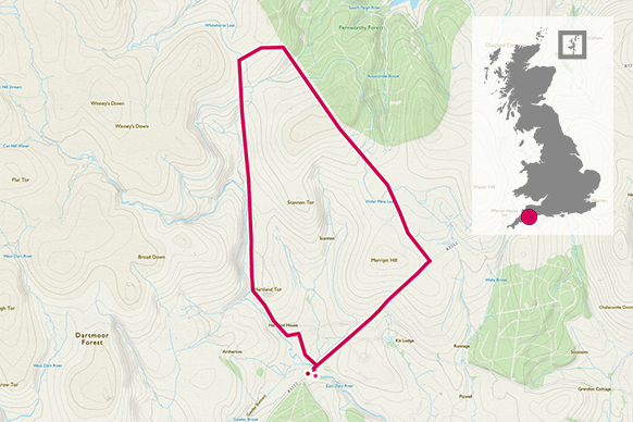
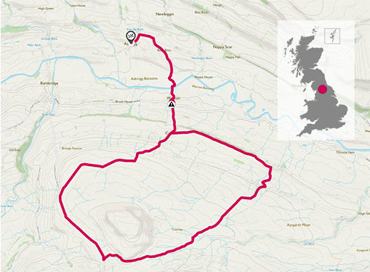
This route around Addleborough is a perfect training route for Mountain Biking suitable for most cyclists who are relatively fit and have a reasonable level of experience cycling off-road. The route has limited technical elements however has climbs, short grassy downhills and fabulous views. Help For Heroes provides lifelong support to Service Personnel and Military Veterans with injuries, illnesses and wounds sustained while serving in the British Armed Forces. Helen works with their recovery centre, Phoenix House, who’s programs support service personnel returning for duty or transitioning to civilian life. Staff from Phoenix House received training delivered by Stage 1 Cycles to allow them to lead mountain bike rides by qualifying as Cycling UK Mountain Bike leaders
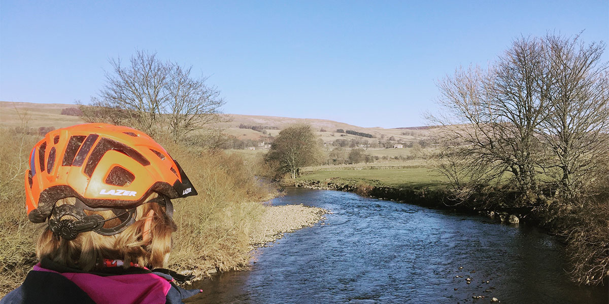
After a morning in the classroom back at base it was great to take the trainees out to put theory into practice. The route starts in the village of Askrigg in Wensleydale which was used as a location in ‘All Creatures Great and Small’. The initial section is based on quiet roads passing over the River Ure and through the hamlet of Worton.
Leaving Worton involves a tricky double left and right turning across a fast A road. It may be advisable for families and groups to dismount and cross over the road on foot before continuing the route up Cubeck hill.
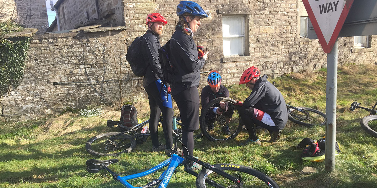
During our training we had a tyre fail at this point and it provided a great opportunity for the trainees to practice emergency trail side repairs. Did you know that you can create an emergency tyre weld with a crisp packet?
SU 333 054
After climbing up Cubeck on tarmac you turn off onto a bridle way at the top of the hill. It is accessed through the farm on the right. The farm is a working farm, so children should be supervised due to the movement of farm vehicles and livestock.
It is now a climb up a gravel track for approx 1/2 mile. It can easily be broken into sections to allow you to catch your breath and the views.
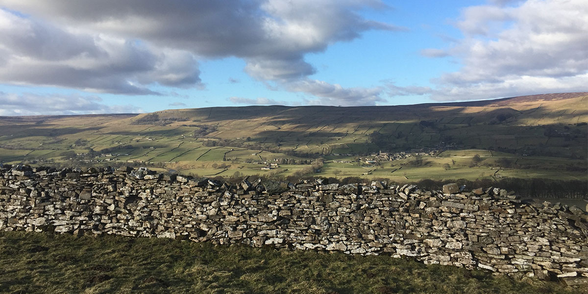
At the top of the climb you then follow the trail on moorland grass until you join a tarmac road. It’s a great place to stop and admire the views over to Semer Water.
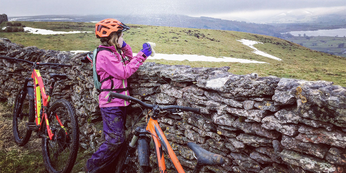
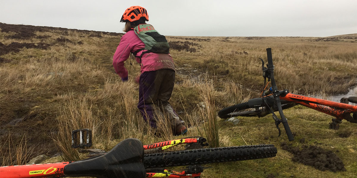
After following this quiet road to Carperly Green you rejoin the bridleway which follows a route taking you round the back of Addleborough. After a short section of climbing the route is for the main part downhill or flat on moor land grass tracks. It is boggy in places but provides dramatic views of Wensleydale and is a great place to spot wildlife including herons, hares and lots of toad spawn!
The trail ends at another gravel track which transfers you to the road at the hamlet of Thornton Rust. There are some sharp bends on this gravel descent. In addition you will pass through 2 fords during this section which can be cycled through however care must be taken during periods of high water flow.
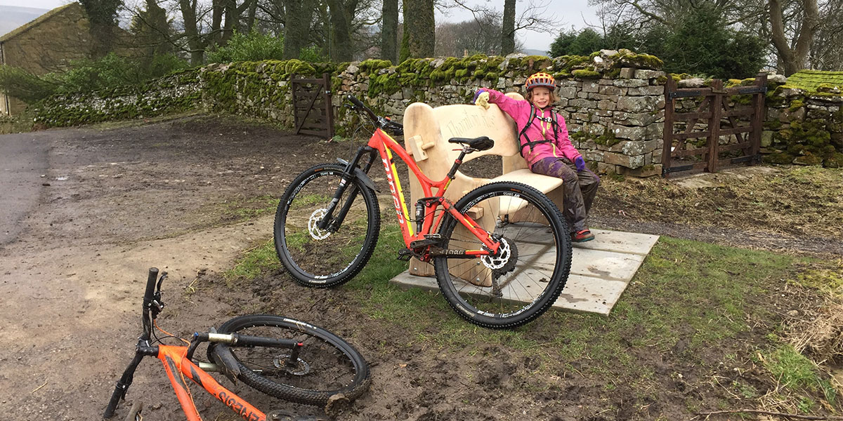
The route ends with a final road section back to Askrigg.
Many of these shots where taken during the pre-ride for the course which Daisy did with me. Bravely battling through muddy but fun conditions on that particular day. Proof that it is a great ride for adventure seeking families. Alternative family routes can be found at the Stage 1 Cycles shop in Hawes, plus further information regarding Cycling UK courses including road or maintenance can be obtained by getting in touch directly.
15 km Askrigg SD 950911
15 km / 9 miles