Not far from the Lake District and visible from the same stretch of Motorway lies a small mound of hills. Names such as Winder, Brant Fell and The Calf do not capture the imagination like their loftier neighbours.
Having said that, The Howgill Fells are beautiful in their own right and well worth a visit.
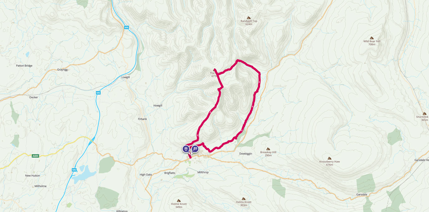
SD 652 920
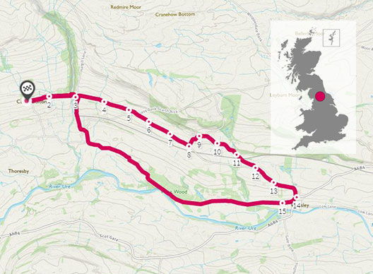
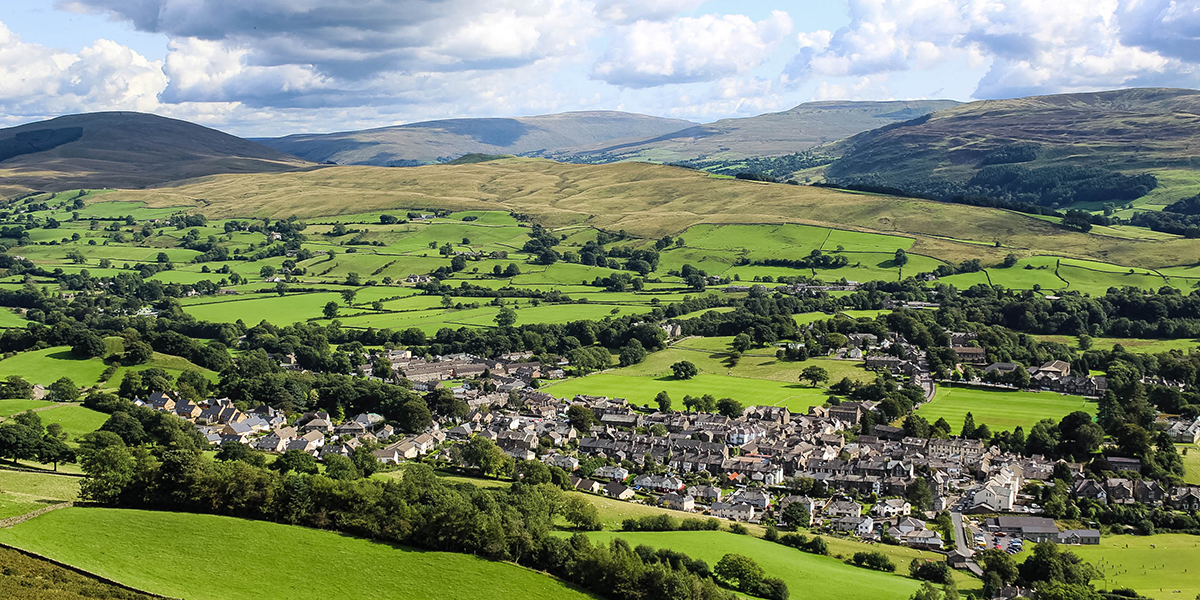
This route starts from the town of Sedbergh which nestles below the Howgill Fells on the Western edge of the Yorkshire Dales National Park.
Heading North to pick up the Dales Way recreational route path you soon find yourself climbing the fells to the first summit trig column of Winder at 473m.
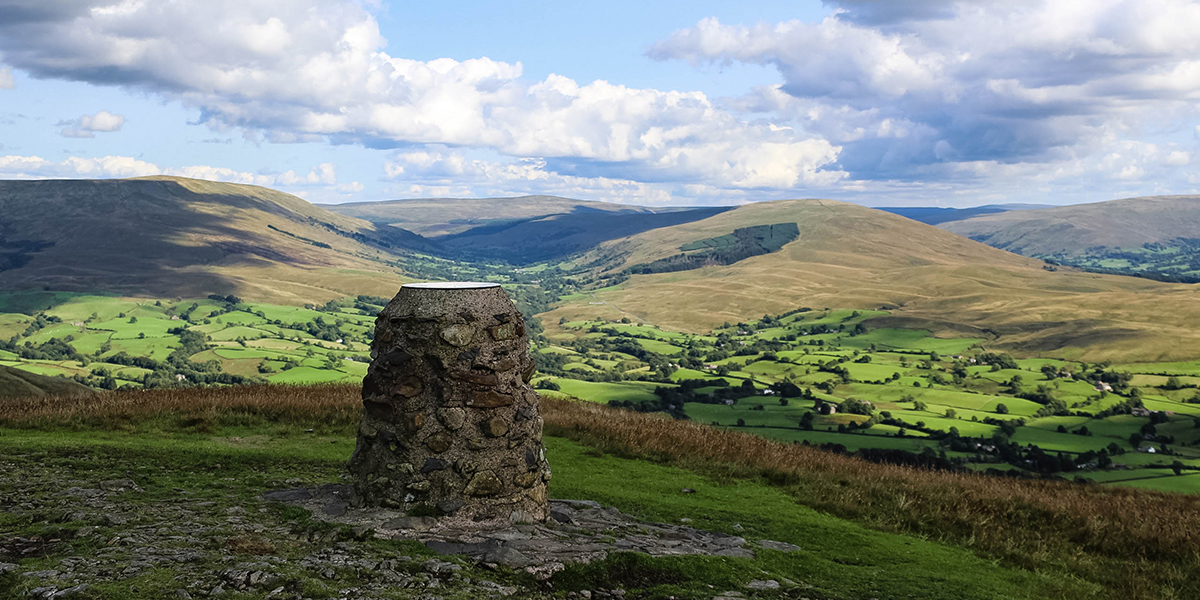
The views here to the SE, deeper into the dales are simply stunning. Again the loftier fells of the Lake District hog the limelight with a viewing plaque marking all the fells visible to the West from here.
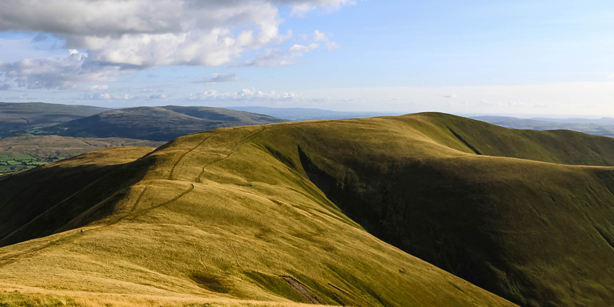
After relating all the fells on the plaque to the ones the eye can see it’s time to continue upwards with a 200m ascent to the summit of Arant Haw. From here the Howgill Fells come into their own as the full range lays itself out to the North for you.
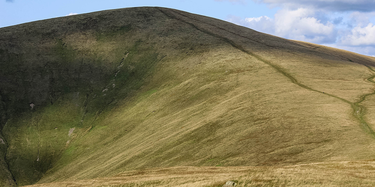
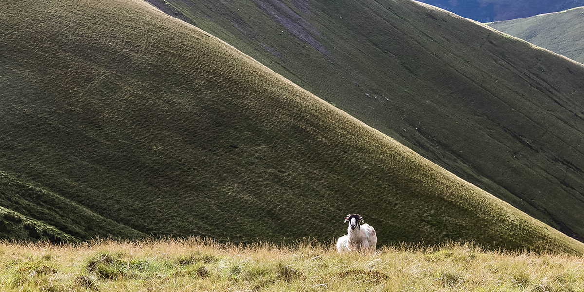
Guidebook writer Alfred Wainwright wrote that the Howgills looked like “a herd of sleeping elephants”… from here you can see what he meant!
Huge hills sloping into the valleys below!
The highest point of this walk is The Calf at 676m marked with another of the four triangulation columns on the Howgills. Our plan was to camp here for the night to break the walk up and stretch it over two days, as at almost 20km this would be a tiring walk to do in one go but perfectly possible if wild-camping is not for you.
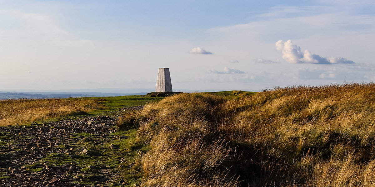
After a beautiful sunset we got our heads down for a comfortable nights sleep.
Waking to the sound of rain on our tent the following morning, it was breakfast and hot coffee before heading out for a very wet second leg!
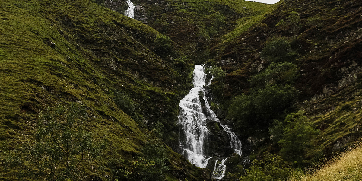
Although we didn’t get the views of day one, The Howgills under cloud are just as beautiful, and dare I say more atmospheric. Backtracking slightly from the summit of the Calf to a path crossroads, we headed NE towards the highlight of this walk, Cautley Spout. England’s highest waterfall at 650m.
A majestic sight as the fall crashes over cliff faces and cascades down to the glacial valley below.
From the valley you pick up the recreational path that skirts around the Fells alongside the River Rawthey meandering your walk back to the start point in Sedbergh.
…
One thing is for sure, the next time I drive along the M6 motorway it will be the Howgill Fells that catch my eye and brings a smile to my face!
18.6 km SD 652 920
18.6 km / 12 miles