The Race to the Stones is 100km along one of the oldest trails in Britain – The Ridgeway, which crosses North Wessex Downs and the Chilterns. Trail runner and OS CEO Nigel Clifford found out how tough it can be…
SU 708 966
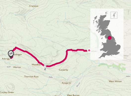
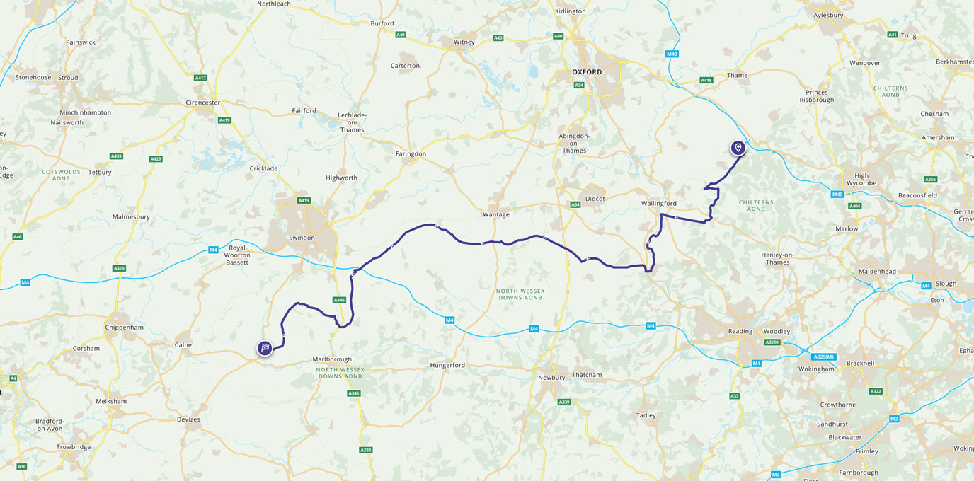
Stretching from the Chilterns in Oxfordshire south-west to the North Wessex Downs, the Ridgeway National Trail is the oldest path in Britain. For 5,000 years it’s been used by travellers crossing southern England. It generally follows the high ground and crosses two designated Areas of Outstanding Natural Beauty (AONB), with rolling hills and ancient woodlands creating one of the most scenic inland routes in the country.
The Race to the Stones is a one or two-day challenge covering 100km of the Ridgeway. It can be completed in two days with an overnight stop at the midway point, or in a single day for the hardcore.
OS CEO Nigel Clifford took on the full 100km challenge with an overnight stop, coming in at a respectable 23hrs 27m – and making better speed the second day!


SU 415 837 – Overnight stop
Nigel says:
“One thing that definitely didn’t drain our energy was navigation. We used the iOS version of OS Maps on the day and during our training and loved it.”
“In particular we found the intuitive user interface very attractive and easy to use. We always used the app to plan our training walks quickly and easily with the ability to build the walks up to increasingly challenging target lengths, height gains and losses, expected times – and good pubs to target for our lunch break. We could also monitor progress and distance remaining while walking and without stopping. Important when you are against the clock.”
“Several fellow walkers saw the app and were also impressed by the ease of use and the suite of map options we could access compared to the traditional GPS handhelds they were using. One thing we did need to do was carry a small power pack to ensure the iPhone didn’t give out on us during these long days.”
“Sadly the app cannot make the challenge route shorter or easier, or avoid blisters but it did help us arrive at the start line feeling confident and the finish line successfully. As a result we raised some much needed money for the Makaton charity and saw a fabulous stretch of our lovely island. “
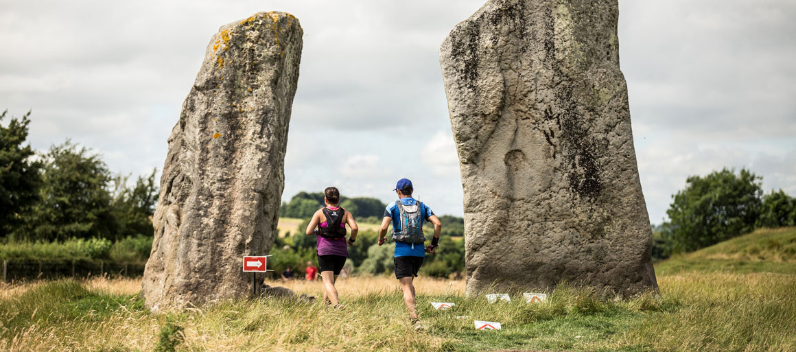
While not covering the full 131km (87 miles) of The Ridgeway, the 100km race was designed to have the finish line at the famous Avebury Stone Circle which provided a spectacular end to the route.
The great thing about organised events is better support facilities. There were regular food stops, as well as footcare specialists on hand to deal with the many blisters generated. The optional overnight stop give participants a chance to recover in a temporary tent village with hot food.
Do you think you could take on the Race to the Stones? The next event runs 15 to 16 July 2017, and you can register your interest now.
All images copyright Threshold Sports via Flikr
100 km SU 102 705
100 km / 62 miles