

Explore the OS Shop
View our range of products and services to help you make the most of your time outside.
Go to the shopArea information, map, footpaths, walks and more
Please check public rights of way before visiting somewhere new
PE34 4JE View area details View maps in the shop
Find routes near Inner Tidal Bank, King's Lynn and West Norfolk
Launch OS Maps
Routes
Stay
Places
+1 miles
+3 miles
+5 miles
+10 miles
Activities
Activities
Walking
Running
Cycling
Length
Length
Under 5km
Over 5km
Time
Time
Under 1h
Over 1h
Difficulty
Difficulty
Easy
Moderate
Difficult
Severe
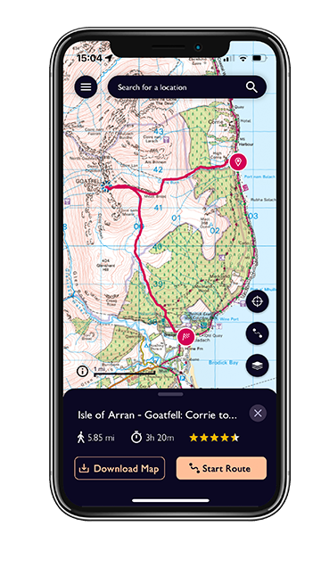
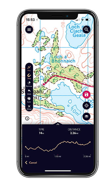
From planning & creating your own routes, or discovering ready-made ones; to following & recording your progress and staying on track; OS Maps puts mapping & navigation tools at your fingertips to make it easy for anyone to get outside safely and discover the outdoors.
Never explore without one! Stay safe, and stay active with Britain’s most accurate outdoor maps, built on 230 years' experience.
View our range of products and services to help you make the most of your time outside.
Go to the shop

For outdoor ideas and inspiration near Inner Tidal Bank, King's Lynn and West Norfolk check out our blog articles below. Or get more like this straight to your inbox.
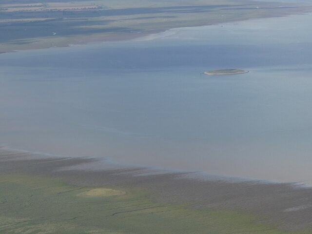
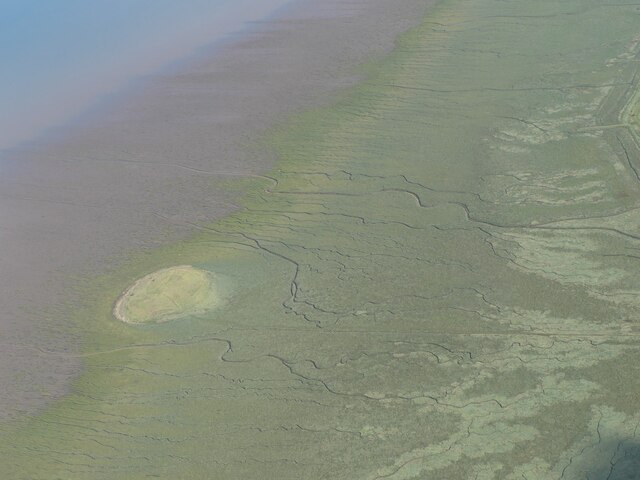
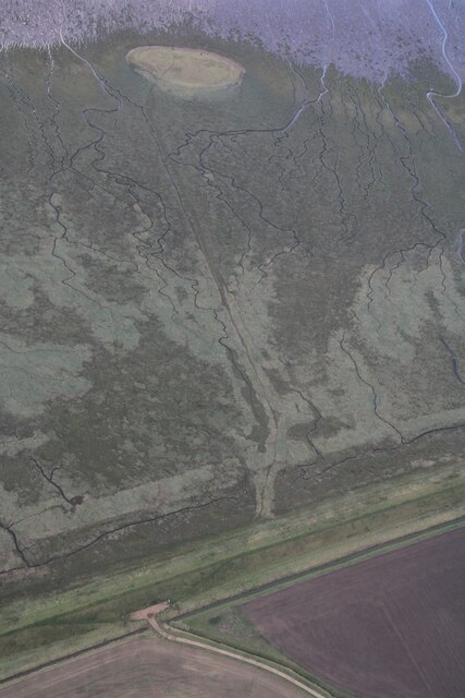
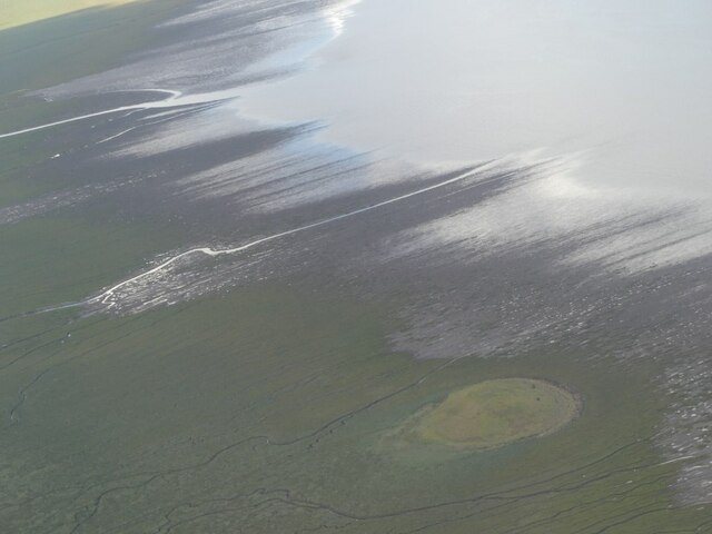
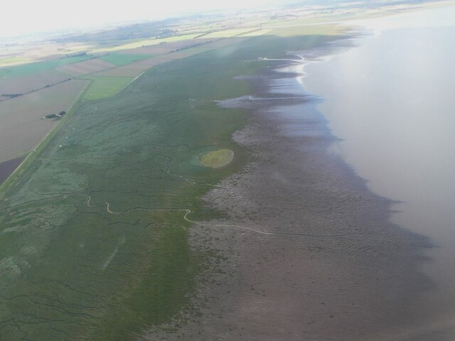
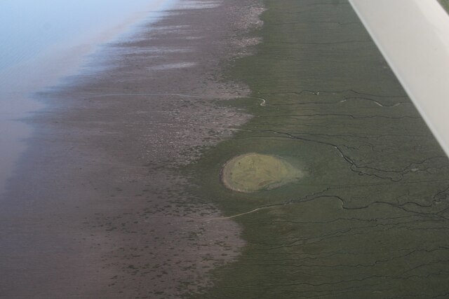
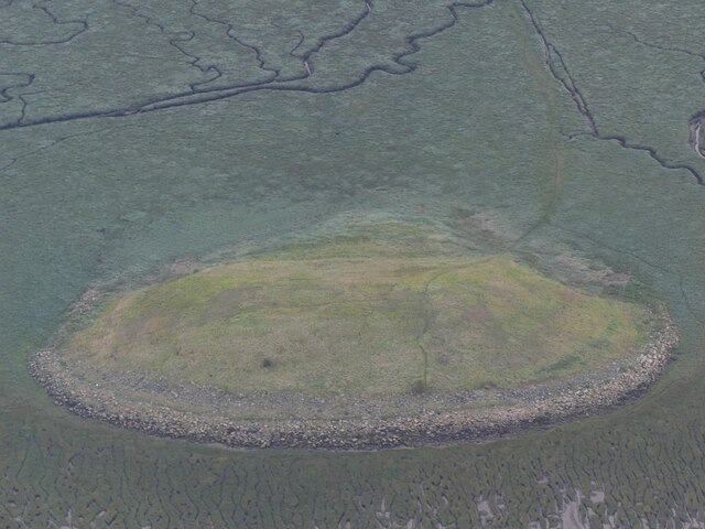
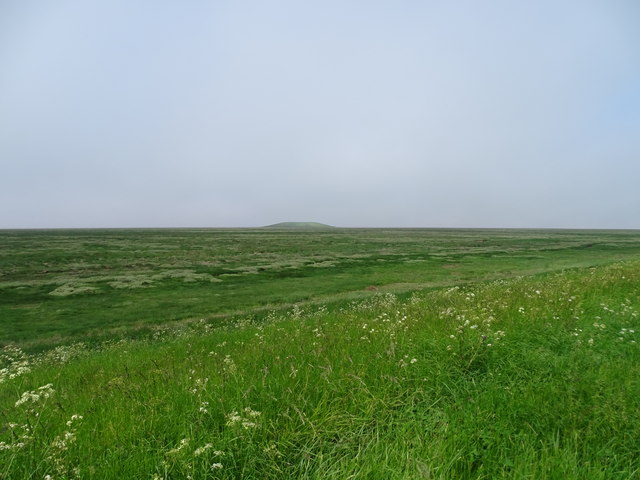
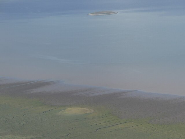
Name: Inner Tidal Bank, King's Lynn and West Norfolk
X/Y co-ords: 554252, 327024
Region: Eastern
Country: England
Place type: Island
Lat/Long: 52.81869888,0.28754858
District: King's Lynn and West Norfolk
Height: 2.8m
Location Grid Ref: TF 5425 2702
OS Explorer Map: 249: Spalding & Holbeach
County/Unitary Authority: Norfolk

Other places near Inner Tidal Bank, King's Lynn and West Norfolk (PE34 4JE)
Breast Sand(wetland / tidal), King's Lynn and West Norfolk
Hull Sand(wetland / tidal), King's Lynn and West Norfolk
Outer Trial Bank, King's Lynn and West Norfolk
Tycho Wing's Channel, South Holland
Whiting Shoal(wetland / tidal), Norfolk
Thief Sand(wetland / tidal), Norfolk
Orange Row, King's Lynn and West Norfolk
Church Field, King's Lynn and West Norfolk (PE34 4LZ)
