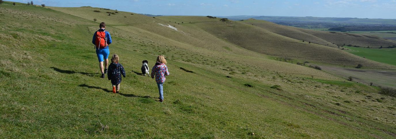
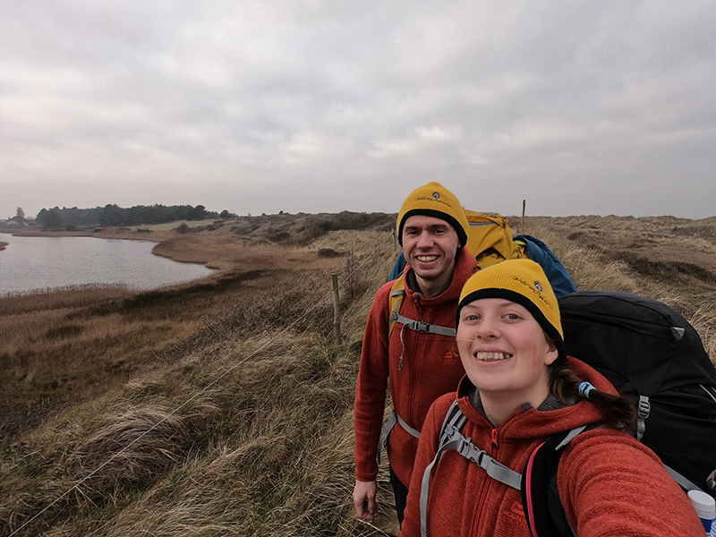
John is registered blind. Along with his sight guide Lauren, they are on a mission show the world that blind or disabled people can do great stuff outside too.
We’re John and Lauren. Two best friends who go on little adventures together (in our matching T-shirts!). Getting outside for us is always fun. We particularly like climbing together and enjoy long days on the hill (which is just as well, because our progress is usually on the slow side!) John is registered blind and has around 3% vision. We’re on a mission show the world that blind or disabled people can do stuff outside. So we took on the Norfolk Coast Path.
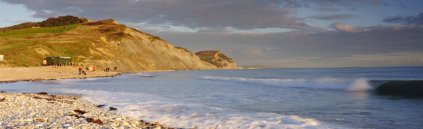
The Norfolk Coast Path stretches 84 miles from Hunstanton to Hopton (which can be extended a further 46 miles by linking it up with the Peddars Way). Here are 5 reasons why we think winter is an amazing time to get outside and give it a go.
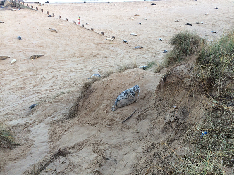
Seals at Horsey
1. Winter wildlife
Norfolk is an amazing place to experience wildlife in Winter. It’s home to huge populations of wintering birds, seal colonies and crabs! We didn’t actually see any crabs on this particular trip, even though the area is famous for them, but we (well Lauren) did see lots of Geese, Egrets, Oyster Catchers, Cormorant, Barn Owls and even the odd seal popping his head out of the water.
Thousands of seals can be seen on the beaches of Norfolk between November and early January, where both common and grey seals come to have their pups. Horsey is a great place to see them but be sure to keep your distance. While the pups look incredibly cute, they are known to have a nasty bite!
2. It’s incredibly peaceful
The Norfolk coast can be a busy place during the summer with lots of people out enjoying the beaches and towns. During winter, even the larger towns felt sleepy and besides the odd dog walker or birdwatcher, we barely saw anybody. It gave us the lovely feeling of remoteness, without ever being far from the next village.
3. Wild camping is that little bit easier
If wild camping is your thing the darker evenings and mornings can be a real help in getting a long nights sleep – perfect for keeping the energy levels topped up. There are plenty of good places, with sand dunes offering some of the best spots.
“Legally in England you are not allowed to wild camp on any land without permission, you must ask permission of the local landowner or farmer first. Please be polite and if you are asked to move on please do so. Always be discrete, take all your rubbish with you and never light fires. Please do not try to wild camp on National Trust or Natural England land, as you will be breaking the bye laws.” – National Trails Website
Many of the campsites and hostels along the coast are closed during winter but there are many B&Bs available and the Deepdale backpackers hostel/campsite if preferred.
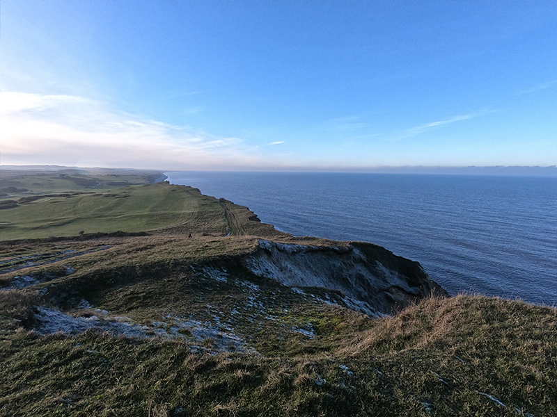
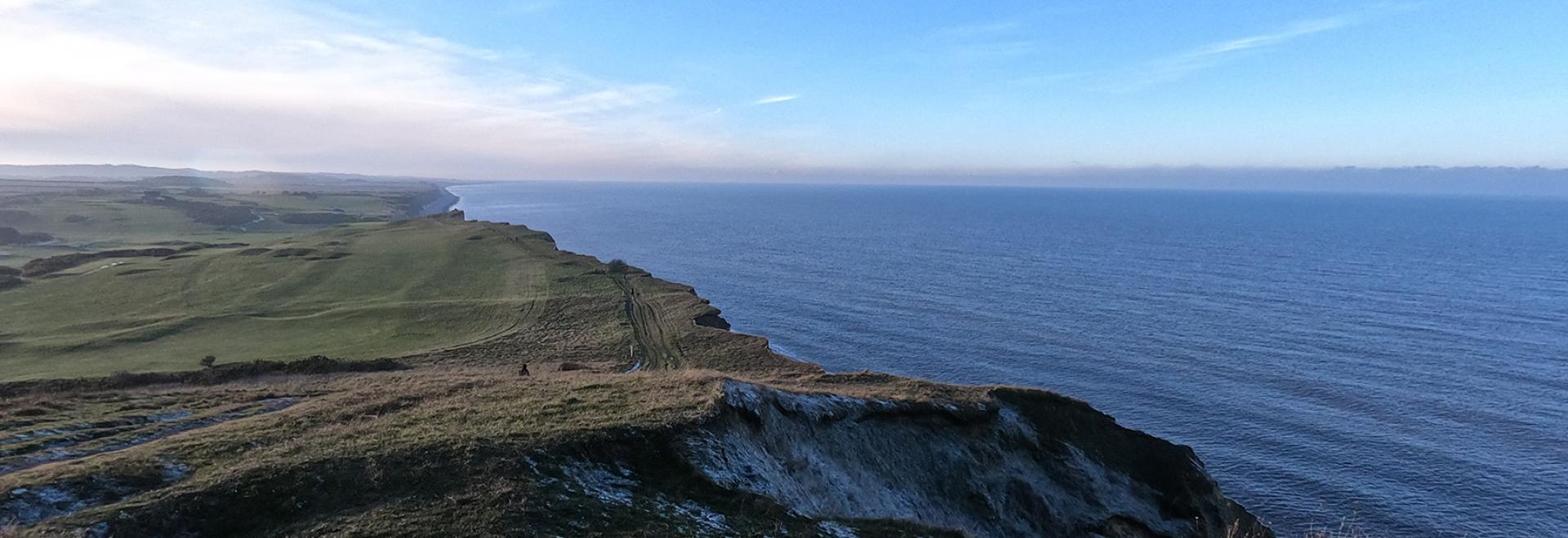
A view from the clifftops near Sheringham
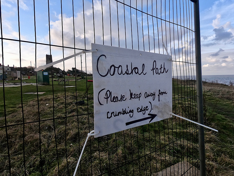
A sign that reads ‘Coastal Path (please keep away from the crumbing edge)’ near Happisburgh
The weather is perfect
Ok, so you’re definitely going to want to pack that warm jacket and it might even rain (it probably will whatever time of year you go!) but we think the colder weather is perfect for a coastal adventure. In summer it can be hard to find shelter from the sun whereas in winter, with a good jacket and a backpack on you should easily be able to feel warm on even the coldest of days while on the move.
We found the clifftops slightly better on a breezy day where there was the choice – but keep an eye out for coastal erosion. The paths up top can end quite abruptly with an often-lengthy detour inland.
Warm cafés are even better in the cold
And there’s plenty of them. We barely passed a village or town that didn’t have a good café or bakery. We didn’t have time to try them all but Wells, Sheringham, Cromer and Winterton are all great places to take a break. We’d also recommend picking up a cake or two from the bakeries. The fruit flapjacks from Dudley’s in Cromer get a huge thumbs up from us!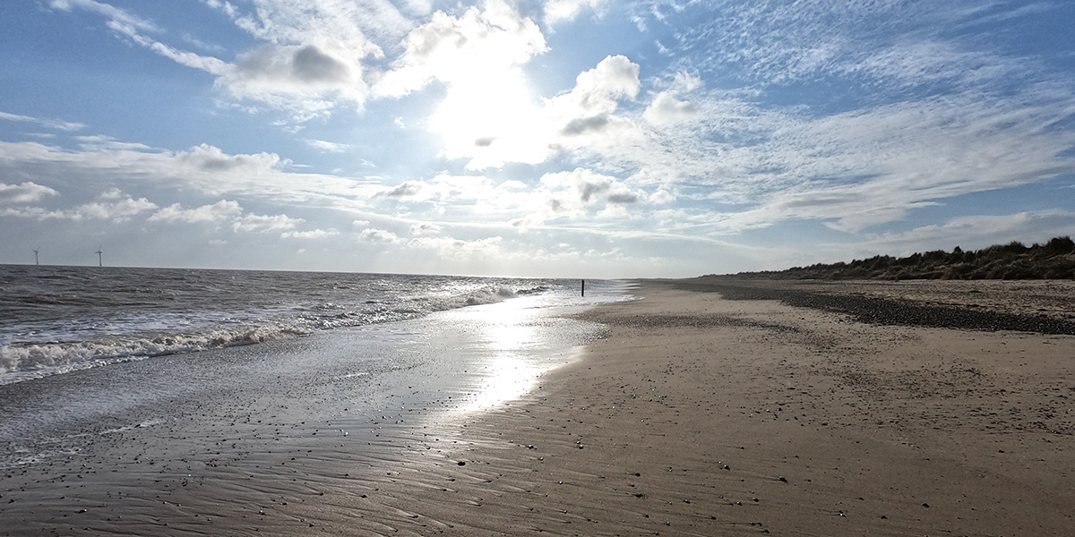
The sunrise from beach at Winterton
Our 6-day journey from Hunstanton to Hopton
Day 1 to Burnham Overbury Staithe
We left home at just after 9.30 and were dropped off in Hunstanton at 11am. Our mission for the day was to reach Burnham Overbury Staithe, where we would camp in the dunes (18miles). We felt fresh for the first 5 or so miles and enjoyed seeing (well, at least Lauren did) the wintering birds that visit the area during the colder months.
10 miles in and we knew we had our packs on our backs, they only weighed around 12kg each which isn’t lots, but it was probably a little bit too much in hindsight. We were also beginning to feel hotspots on our feet. We took a look and each of us had blisters – no problem we thought, we have blister plasters! We patched ourselves up and continued our journey through Holme Dunes, Brancaster and Burnham Deepdale. It was stunning!
But, at this point, the feet were getting sore, we pushed on in the dark and frost until we reached the dunes. We kept seeing odd looking people in camo with Guns. One of which shouted something and all we heard was light and windmill. We decided to wear a light until we found a windmill so we wouldn’t get shot. We presume they were hunting but it was a bit disconcerting. We knew stopping early was no option with the hunt taking place so we kept moving. Once we reached the dunes, exhausted, we set up camp, cooked some noodles and headed into bed. After about 45 mins of setting up beds, finding and losing things it was around 8pm and time for bed.
“Night John”… “Night Lauren”
…. A few seconds of quiet
“John, can you hear that?”… “is it a boat?”…. “I’m not sure, maybe a motor bike”…. “Helicopter”
The low rumbling sound started quietly in the distance, but soon sounded much much closer. We were not quite sure what it was, perhaps a bike playing in the dunes? The fear was it would come up over the top and squish us and our tent but it got louder still.
“IT’S DEFINITELY A HELICOPTER”… “YES, IT MUST BE RIGHT ABOVE US”
We’re sure it was low and close, but we never saw it. Around 20 minutes passed and we settled back down for a restless nights sleep.
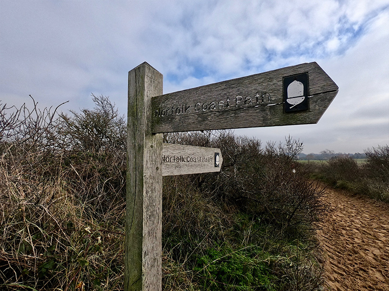
A sign for the coast path
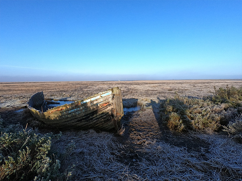
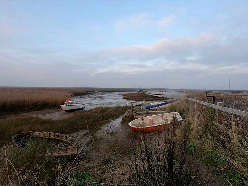
An old boat near Blakeney
Day 2 to Cley-Next-The-Sea
The mission for the day was to reach Cley-Next-The-Sea which was another 18miles. The plan was to leave early and hit Wells-Next-The-Sea in time for breakfast at our favourite bakery. We left at around 7am and walked along the quiet beach which was littered with thousands of shells and had a colony OysterCatchers on a sand bank. The route took us through the Holkham Estate and we reached Wells at around 10.30am.
We made use of the facilities, topped up our water bottles and gave our sore feet a bit of rest before heading into town for our breakfast. We stocked up on some cakes for the day ahead and sat by the quay with a hot drink and sandwich. We decided to take the boots off for a bit and give them a bit of air which is when we discovered that John’s feet had started to blister in several places including between the toes.
The next conversation was a tough one. We never doubted our ability to continue blisters or no blisters, but we knew that doing so would likely end up in damage that would take several weeks to recover. We did the sensible thing and stopped, we waited on the wall and had a different adventure, getting a bus home! It took around 3 hours in all and we even had time to make a hot chocolate between bus changes.
The bit in-between
This was our first attempt of a long distance walk. We knew we could finish it but it was a case of how! We did a bit of research while recovering at Lauren’s home. Toe socks looked like they’d sort John’s weird toe blister issues so we ordered a pair of liners (ininiji) and looked at taking some of the weight off our feet.
We swapped the tent for a tarp and bivvy bags, used smaller, lighter backpacks, left the waterproofs at home, switched to a lighter stove set (still alcohol based from speedster stoves) and took less food with us. Our decision to head out again was a last minute one and was only to be for 1 night, unless things went much better than before. Our new packs weighed around 6-7kg with water.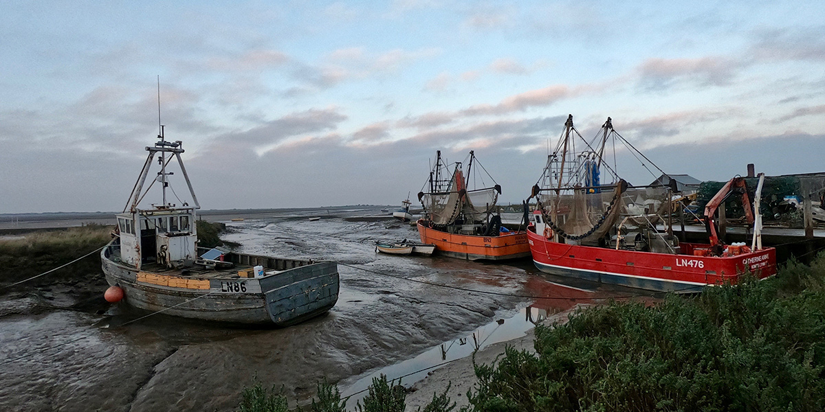
Fishing boats at Morston
Day 3 back to Wells-Next-The-Sea
We hopped on a train at 11.30 from our home village and headed out towards Sherringham. There were lots of waits between connections which gave us time to eat and supply, but it meant arriving back at wells at 4.30pm. We walked for a couple of hours before reaching a less-than-ideal camp spot, but it did the trick. Couscous was on the menu along with a hot chocolate.
It was a cold night, down to around -3/4 and we struggled to stay on top of our sleeping mats because of the uneven ground.
Day 4 somewhere between Sheringham and Cromer
Despite the poor night’s sleep, we woke up feeling quite refreshed. We were on the move by 6.45am and it was still dark. The hard frost helped with the mud and walking was quite easy going. We reached Moston for a beautiful sunrise and Cley-Next-The-Sea for around 10.30am where we found a bench and dried out some of our kit including the what-was-frozen tarp. There were lots of people around enjoying the sunny day and wildlife.
From here, we had to walk miles along the shingle beach. It was particularly tough going on the legs – if you can do this bit at low tide it would probably make life easier, but we persevered and stopped for a lunch at around 2pm, where we aired out our sleeping bags and grabbed some more couscous.
From here we were able to move up on to the cliffs toward Sheringham where we met some nice people that offered to see if we could stop where they were staying, perhaps we should have accepted, but we didn’t and kept walking on into Sheringham town for a resupply and then decided to keep going. We were between Sheringham and Cromer when we found our overnight spot. We had covered another 18miles and our legs were tired, but we were blister free. We ate Couscous again despite being fed up of it. Again, not a great night’s sleep and it was pretty breezy.
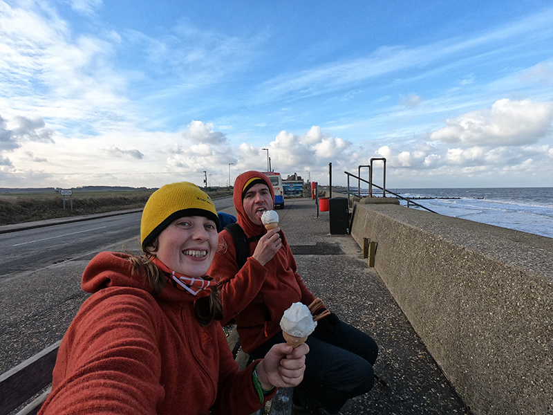
Enjoying icecreams at Walcott
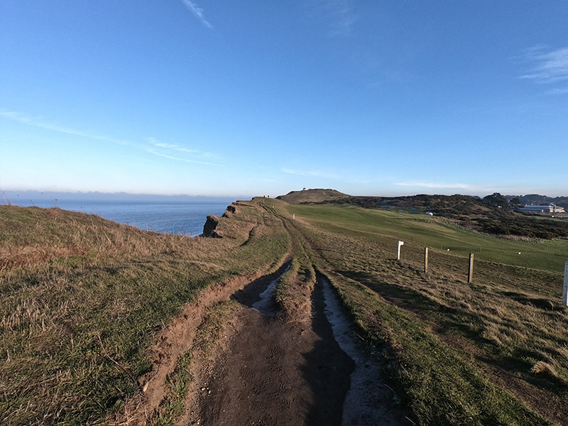
A view from the clifftops towards Sidestrand
Day 5 to Winterton
We woke up feeling quite good, the feet had recovered well. We set off early and soon reached Cromer where we supplied once more from a local bakery. It was incredibly windy, so we stayed off the beaches and kept to the clifftops as much as possible but this did bite us on the bum at Bacton, already tired, we discovered the path had given away to erosion and the part near the Gas Terminal was impassable and resulted in a 3km detour. This affected moral pretty badly as we were already flagging slightly, but it was to be the least of our troubles.
We were many miles behind and had a long way to go to reach Winterton, our planned overnight stop for the night. We knew we could stop short, but we wanted to finish it and get home and we had cut-off point too. Not reaching Winterton would have put completion into Jeopardy. We’d already walked 38km and we calculated we still had around 12km to reach Winterton. We were tired, hungry, it was getting dark and we were pretty demoralised. We grabbed a sausage roll from our bags while we took a quick break and it started to rain. We considered our options and decided to push forwards.
The remaining 12km was painful on the feet (but still blister free) and we had to take many stops. We reached our overnight rest stop and set up the tarp, it was windy, but it held up ok. Despite having the fly flapping on our faces most of the night it was one of the better nights sleep.
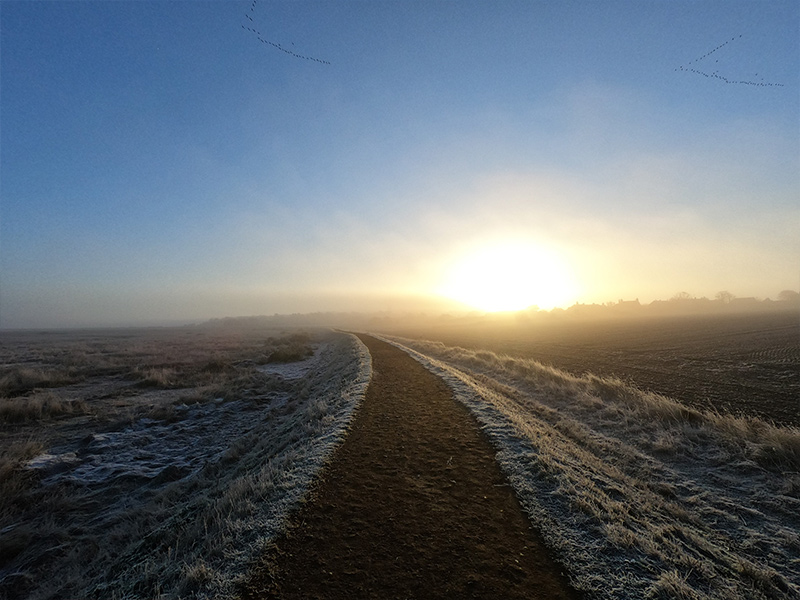
A sunrise from the path at Morston
Day 6 to final destination, Hopton!
We woke up knowing we only had 15-miles to the finish, and we were determined to make it! The tide was low which meant we made excellent progress along the hard sand, that was until a freak wave came up a little too far up shore giving John a wet foot! Oops. We saw a couple of seals in the sea here and lots of evidence of coastal erosion. We reached Great Yarmouth by midday and stopped for some chips in the town.
5-miles to go. The tarmac by the quay battered our feet and as soon as we could walk on sand, we did. The last 5-miles was tough, but we made it, opting for the cliffs again because of the rising tide. We reached Hopton at around 2pm and grabbed a well-earned beer while waiting for our lift to arrive!
We definitely enjoyed our first long distance walk, but it was very much type 2 fun! For us, lighter packs made all the difference so we’ll try and keep to this ethic in the future. Next time we’ll give ourselves more time to enjoy the experience, and maybe even take up that offer of accommodation with the promise of ‘soup and a pud’ en route!
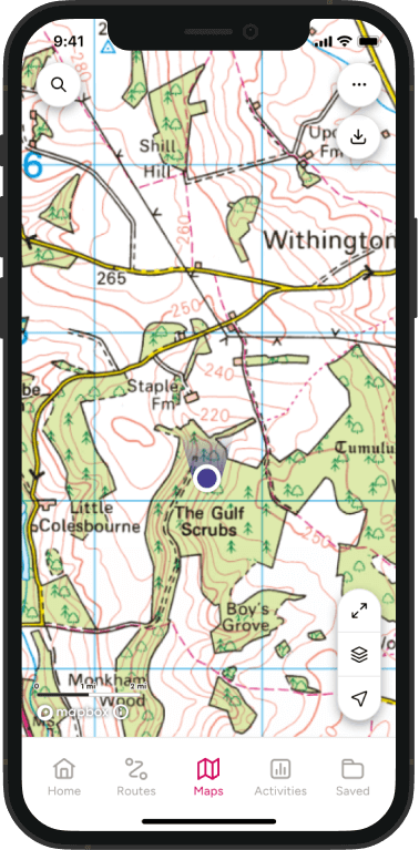
CLICK HERE FOR THE NORFOLK COAST PATH ROUTE IN OS MAPS
How can you GetOutside with sight loss?
There are some matching services for blind people and sighted guides if you felt like you wanted to help people get outside including those run by Guide Dogs and Deafblind UK. There are also many other local charities offering similar schemes.
You might also make any disabled people feel welcome within any groups you are part of or involved in. Sometimes, that might be all it takes.
Lauren and John at Titchwell Marsh